


Phone: (843) 723-3225
Museum: 100 Meeting St.
Archives: 205 Calhoun St.


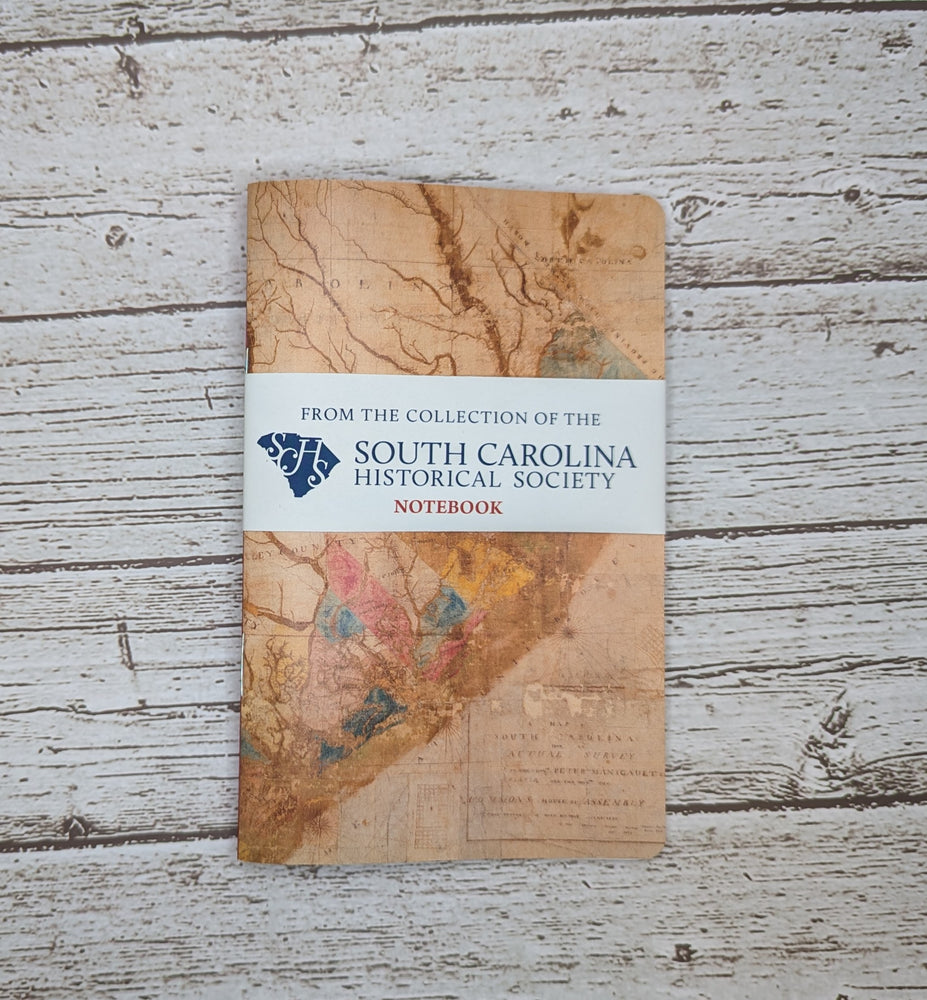
This handy pocket-size notebook features the historic Gaillard-Cook Map on the cover. It contain 48 pages of unlined paper and measures 3 1/2 x 5 1/2 inches.
About the Gaillard-Cook Map:
The Gaillard-Cook Map, is purported to be part of the original manuscript presented to the Commons House of Assembly on March 21, 1770 by Tacitus Gaillard and James Cook, two men appointed to survey the province of South Carolina. The map shows only the eastern half of the state; the whereabouts of the western half are unknown. The document is believed to have been the basis for many other maps of the state, including Henry Mouzon’s and the Lodge-Cook map of 1771. The cartographers noted not only the towns and villages, but also the location of family farms and plantations. The different colored sections represent parishes of South Carolina.